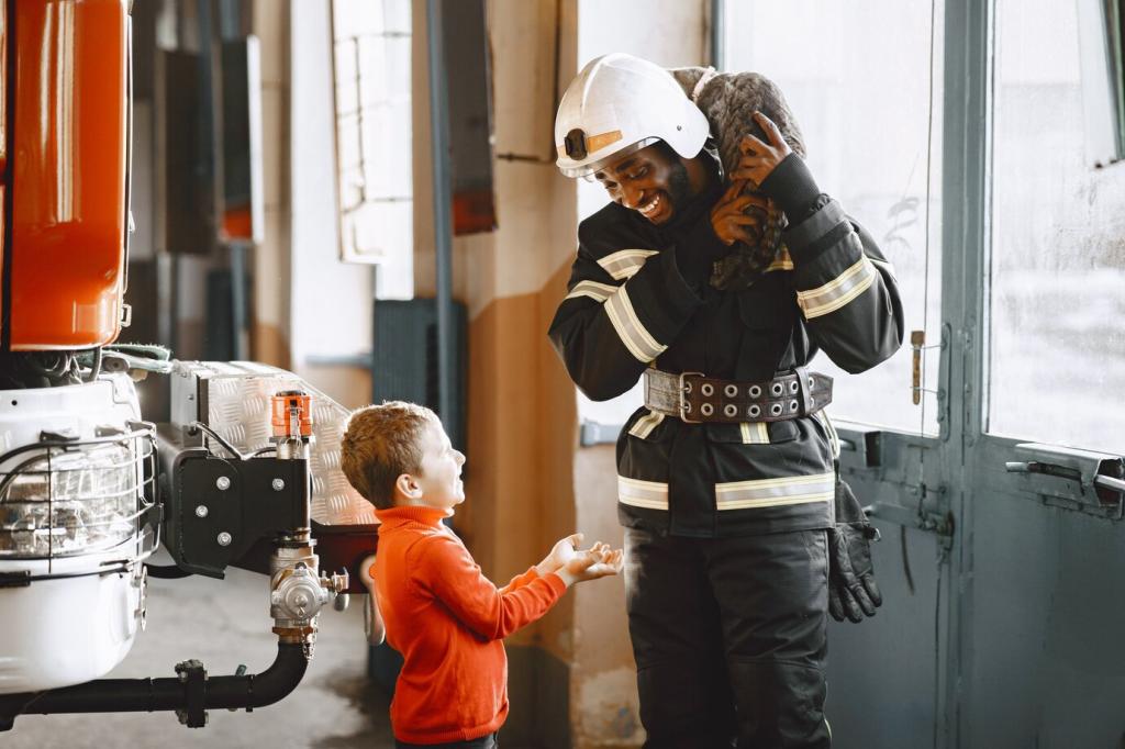
Guardians of the Fireline: The Role of Weather Monitoring in Fire Management
Chosen theme: Role of Weather Monitoring in Fire Management. Explore how precise forecasts, real-time sensors, and sky-watching wisdom guide safer decisions, smarter strategies, and faster recoveries. If this resonates, subscribe and tell us how weather has shaped your own wildfire readiness.
Wind: The Invisible Bulldozer
Wind sculpts flame like a potter’s hands, bending tongues of fire, driving embers over lines, and turning spot fires into fast-moving fronts. Crews plan anchors and escapes by forecasted gusts and shifts. What wind patterns do you watch before stepping outside?
Humidity and Fuel Moisture
Low relative humidity dries fine fuels to tinder, shrinking the margin for error. Overnight recovery can reset risk, but poor recoveries keep mornings volatile. Monitoring hourly humidity tells crews when firing operations are safe, or when to pause and wait for moisture to return.
From Sensors to Strategy: How We Monitor
Remote Automated Weather Stations
RAWS sites quietly stream wind, temperature, humidity, and precipitation that feed planning tools every hour. Their long records reveal seasonal baselines and anomalies. When RAWS data flags drying trends, planners adjust staffing, readiness levels, and tactics before flames challenge the first ridge.
Satellites and Doppler Radar
Satellites map hot spots and smoke plumes, while radar reveals outflow boundaries and developing cells. A new thunderstorm can reverse winds and toss embers miles ahead. Watching these feeds helps aviation, dozers, and hand crews pivot faster than a fire can surprise them.
Community Sensors and IoT Contributions
Neighborhood weather stations and low-cost air monitors fill gaps between official sites, sharpening hyperlocal understanding. When consistent patterns emerge, incident meteorologists verify and integrate them. Share your station’s link so others can see real conditions and prepare their homes with confidence.


Haines Index and Atmospheric Stability
The Haines Index blends temperature lapse rates and dryness to signal plume-driven fire potential. High values warn of towering columns, long-range spotting, and erratic behavior. Crews pair Haines forecasts with topography to anticipate where updrafts may tilt and accelerate fire growth.
Canadian Fire Weather Index Components
FFMC, DMC, and DC estimate fine fuel, duff, and deep drought conditions, while ISI and BUI guide spread and intensity expectations. When CFWI rises, attack windows shrink. Planners marry these numbers with fuel typing to choose tactics that won’t overpromise or underdeliver.
Real Stories: When Forecasts Saved the Line
A crew planned a small, surgical burnout before an approaching front would flip winds. Monitoring station pressure rise and wind veer timing, they fired early, sealed a vulnerable flank, and watched the front arrive harmlessly against black. Timing was everything, and weather made it possible.
Real Stories: When Forecasts Saved the Line
A forecasted afternoon sea breeze threatened to funnel smoke and flames toward a canyon community. Officials issued early alerts, staged buses, and prepped routes. When the clock-struck gusts came, residents were already out, and firefighters focused on structure defense, not rescue traffic jams.
Planning, Preparedness, and Public Messaging
Fire Danger Ratings People Understand
Clear color codes and concise messages turn complex meteorology into everyday choices: mow early, postpone welding, cancel debris burns. Agencies that match forecasts with relatable examples see better compliance. Tell us which messages actually changed your behavior, and we’ll amplify those approaches.
Alerts that Move People, Not Panic Them
Red Flag Warnings should spark focus, not fear. Pair the alert with specific actions, timelines, and map links. When the forecast shifts, updates should arrive just as fast. If your town communicates well, share their playbook so others can borrow what works.
Home Hardening by the Numbers
Use forecasted wind direction and ember risk to prioritize vents, gutters, and defensible space on the most exposed side first. Weekend plans? Align chores with cooler, more humid mornings. Comment with your top retrofit win and inspire someone else to start today.
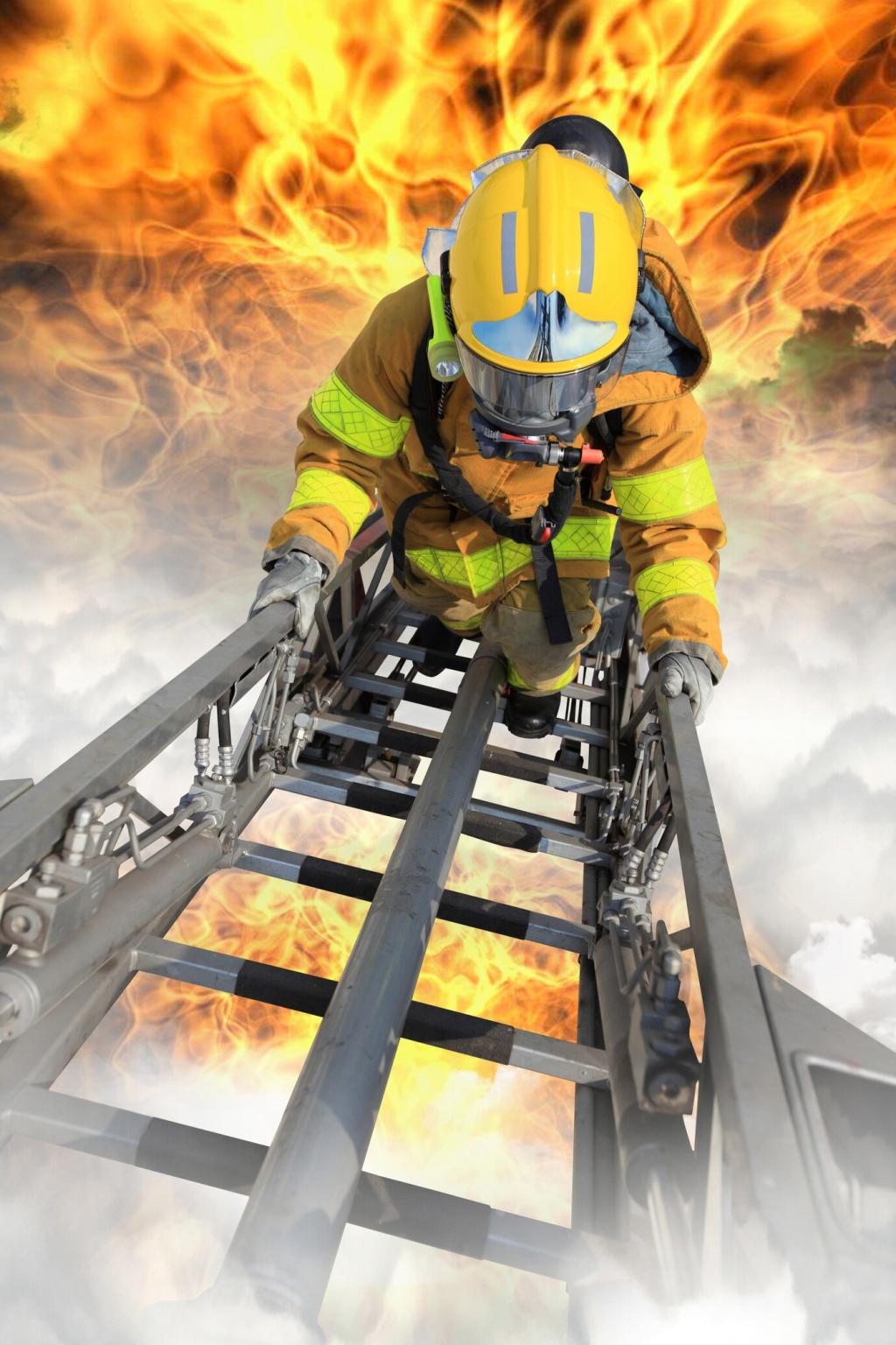
On the Fireline: Tactical Choices in Real Time
Establishing a solid anchor keeps the head fire and wind from pinching crews. When gusts rise, spacing, lookouts, and check points tighten. Watching for wind channeling in saddles and drainages turns a risky advance into a controlled, stepwise gain.
On the Fireline: Tactical Choices in Real Time
Cooler nights often bring higher humidity and gentler winds, but inversions can trap smoke and hide hazards. Crews time firing operations for the brief window when inversion breaks and air clears. Share your best night-ops tip for reading the air without losing momentum.

Climate Signals and the Future of Fire Weather
Many regions now see earlier starts and later finishes, shrinking recovery periods. Monitoring seasonal outlooks helps agencies stage crews and equipment strategically. Homeowners can schedule vegetation work in spring windows that used to be safe in summer, adapting to the new normal thoughtfully.
Climate Signals and the Future of Fire Weather
The worst seasons stack extremes: record heat, deep drought, and wind patterns that repeat. Integrated monitoring spots compounding risks early. If your area experiences repeat patterns, drop a note below—we’ll gather regional insights and publish a community-tested preparation calendar.